
Construction GPS Setup · Wyoming & Northern Colorado
Construction GPS Setup in Cheyenne, WY
GPS equipment and project data are prepared to work together before production depends on them.
How Construction GPS Setup Works
Practical Construction GPS Setup for Cheyenne Projects
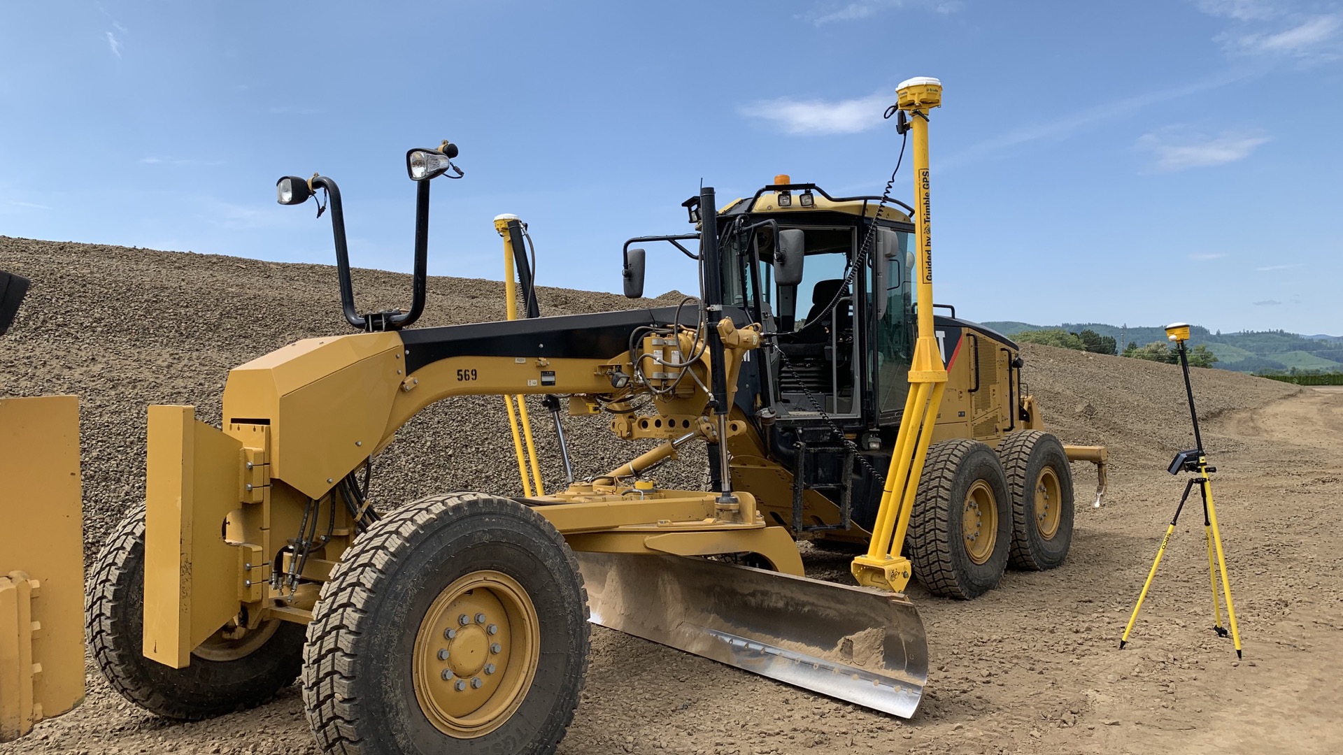
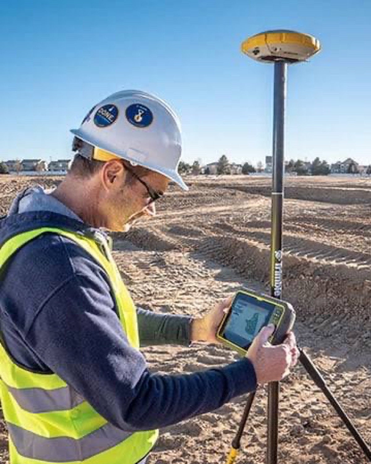
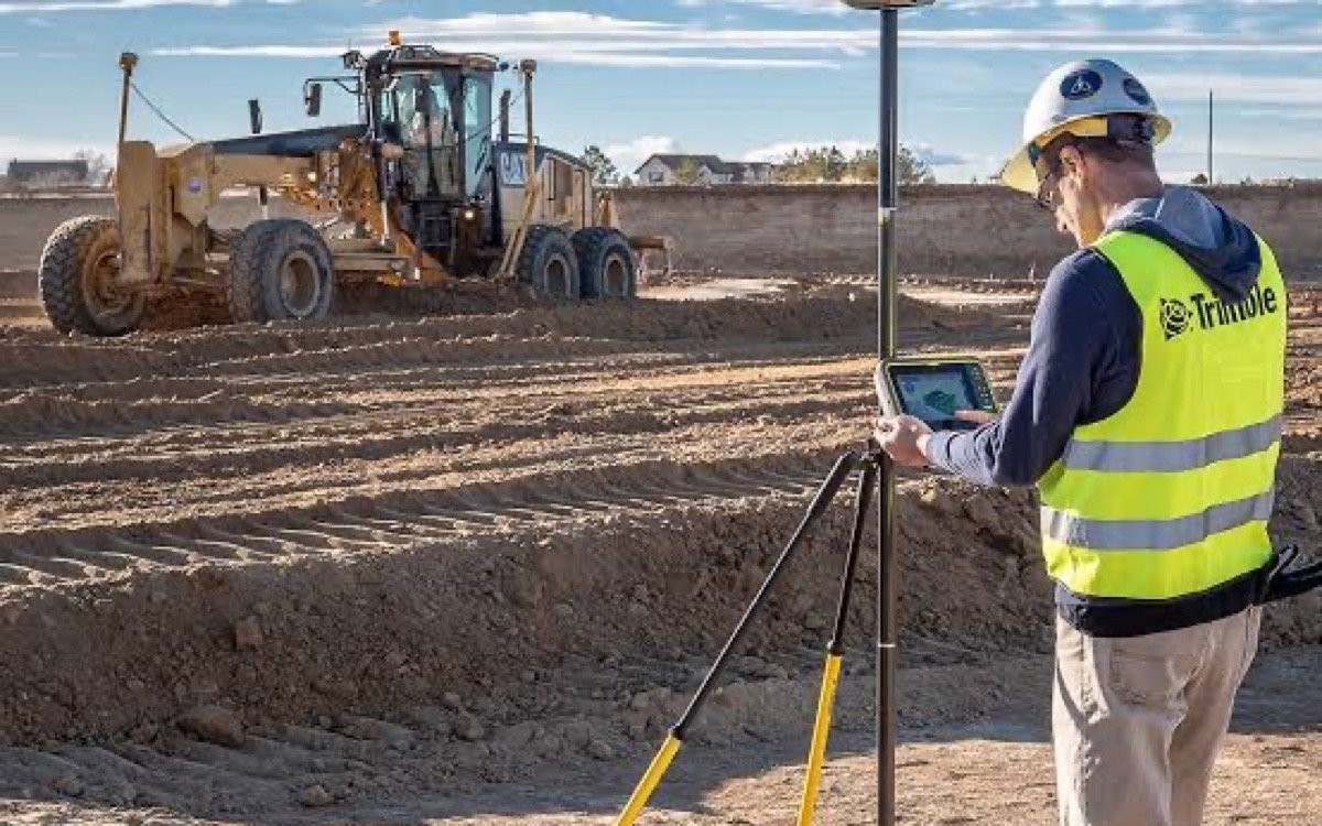
MLT helps configure construction GPS workflows using the client’s approved control and design information. Setup can include base and rover readiness, machine data preparation, checks, and crew-oriented guidance.
Open Wyoming terrain can provide broad sky visibility, but wind, remote locations, and long baselines still demand thoughtful equipment placement and verification.
MLT works from client-supplied or appropriately approved project information. Services do not include licensed surveying or engineering, legal boundary work, or certification of design.
Construction GPS Setup Problems MLT Helps Resolve
Common Construction GPS Setup Issues in the Field
Early questions are easier to solve before they become production problems.
-
Equipment Will Not Connect
Configuration and communication settings must agree across the system.
-
Wrong Project Loaded
A machine can work consistently from the wrong revision unless files are controlled.
-
Unstable Field Results
Hardware placement and site conditions can affect repeatable GPS performance.
-
Operator Uncertainty
Clear setup notes help crews understand what to check before cutting grade.
Construction GPS Setup Project Steps
A Four-Step Construction GPS Setup Workflow
-
Review Construction GPS Setup Inputs
Confirm scope, current files, equipment, site conditions, and intended field use.
-
Prepare Construction GPS Setup Data
Organize the information and produce the agreed construction-support deliverables.
-
Check Construction GPS Setup Setup
Review compatibility, revision status, and field behavior before production depends on it.
-
Support Construction GPS Setup Use
Address questions and agreed updates as the project moves through its work phases.
Construction GPS Setup in the Region
Local Conditions That Shape Construction GPS Setup
Construction GPS Setup Across the High Plains
Open Wyoming terrain can provide broad sky visibility, but wind, remote locations, and long baselines still demand thoughtful equipment placement and verification.
Construction GPS Setup Input Control
Current approved information is separated from older project revisions.
Construction GPS Setup Field Checks
The workflow includes practical checks the crew can repeat during production.
Construction GPS Setup in Changing Weather
Wind, dust, cold, and freeze-thaw conditions are considered during setup.
Construction GPS Setup for Real Job Phases
Deliverables are organized around the contractor’s active construction phase.
Construction GPS Setup Troubleshooting
Questions are traced through files, setup, equipment, and field conditions.
Construction GPS Setup Questions
Cheyenne Construction GPS Setup FAQ
The project may use a base, rover, data collector, machine receivers, radios, or network corrections. MLT reviews the client’s actual equipment and intended workflow before defining the setup.
Related to Construction GPS Setup
Other MLT Services That Support Construction GPS Setup
Start a Construction GPS Setup Conversation
Discuss Construction GPS Setup for Your Project
Share the project location, files, equipment, and timing so MLT can review the requested support.
Hours of Operation
- Monday Open 24 hours
- Tuesday Open 24 hours
- Wednesday Open 24 hours
- Thursday Open 24 hours
- Friday Open 24 hours
- Saturday Open 24 hours
- Sunday Open 24 hours
Share Your Project
Send the site, service, and timing details. MLT will review the request and follow up using the contact information you provide.